MINKA: Marburg Indoor Map
Welcome to MINKA, the indoor map of the University of Marburg.
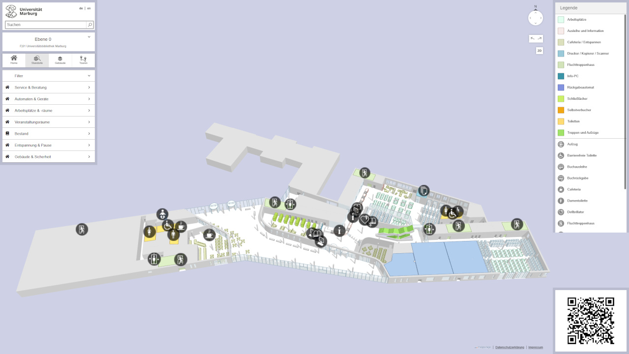
With MINKA, you can find the location of rooms in our university buildings. Click on chose a building below and select a floor. You will then see an overview of all rooms. A legend can be found further down on this page. For more information, visit our project page.
All information is given without guarantee and the cartography does not claim to be complete.
Available buildings
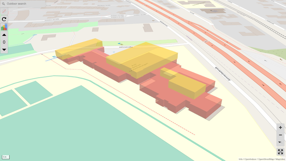
A|01 Center for University Sports, Jahnstraße 12
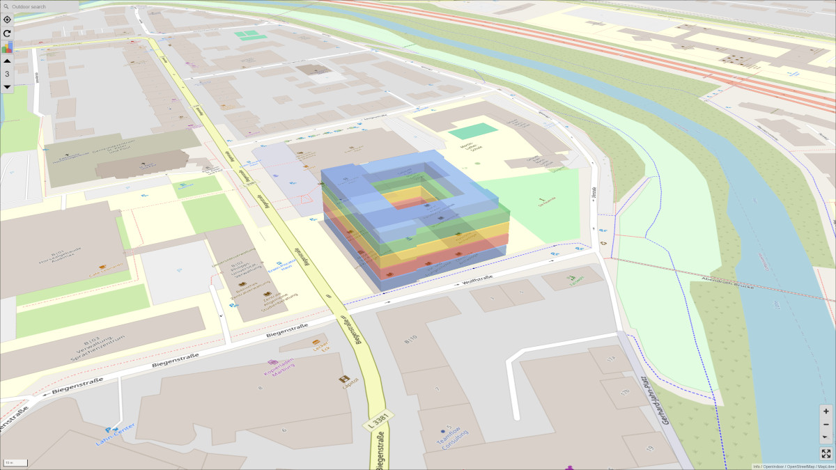
B|01 Lecture hall building with Audimax, Biegenstraße 14

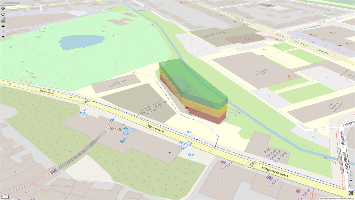
B|05 Research Center Deutscher Sprachatlas, Pilgrimstein 16
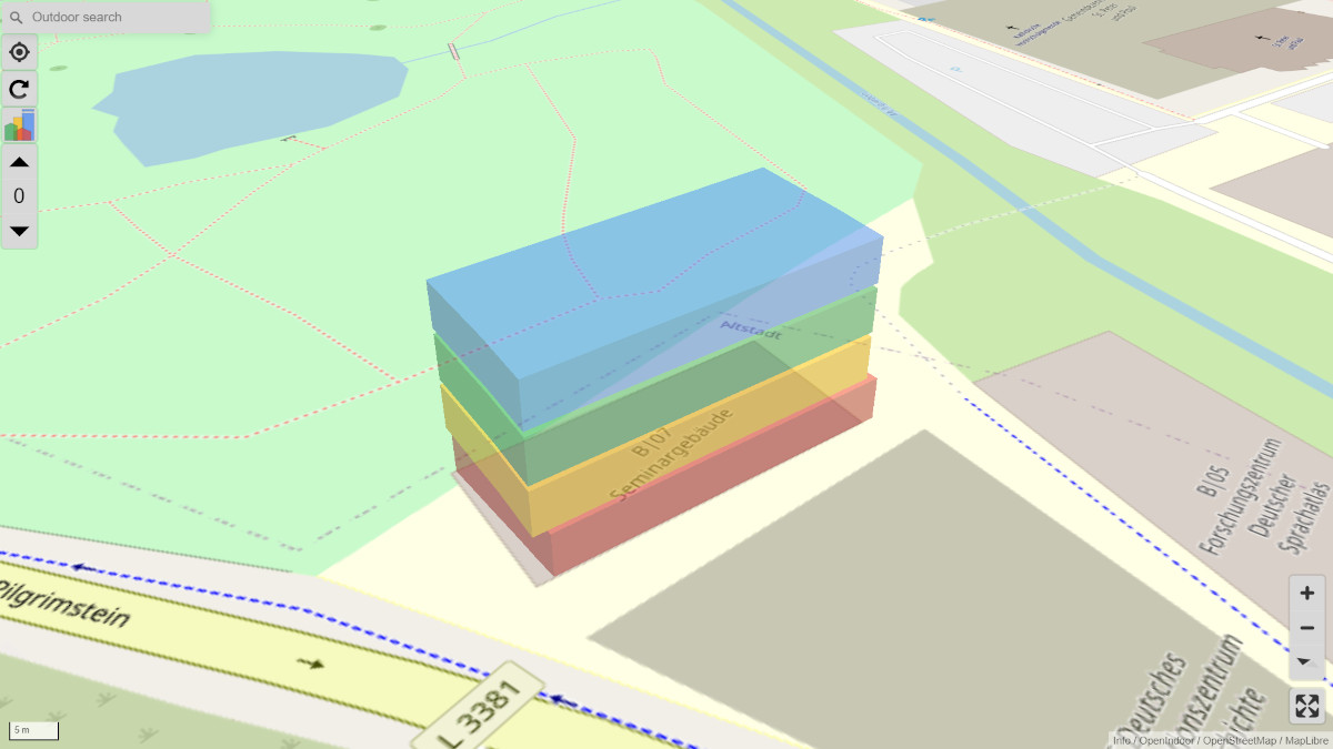
B|07 Seminar Building, Pilgrimstein 12
B|11 Art Building, Biegenstraße 11
F|01 University Library, Deutschhausstraße 9 (Redirect to mapongo)
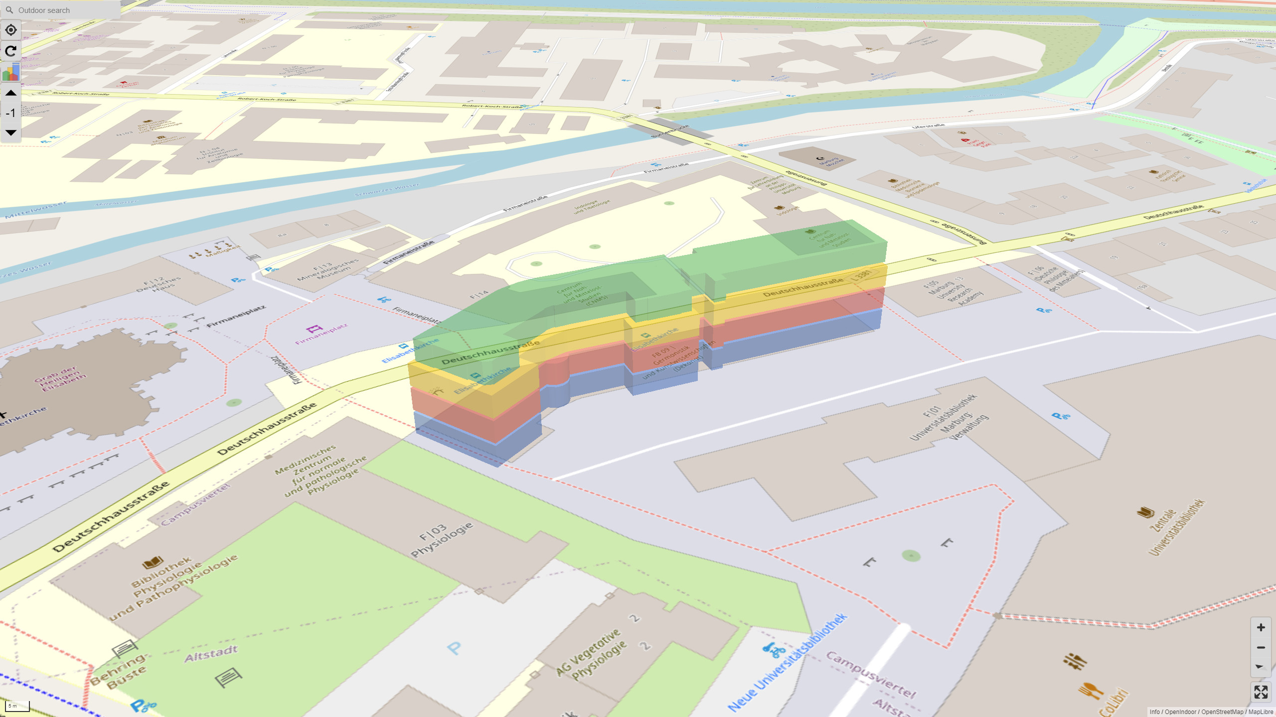
F|04 Deutschhausstraße 3
F|05 Deutschhausstraße 11+13
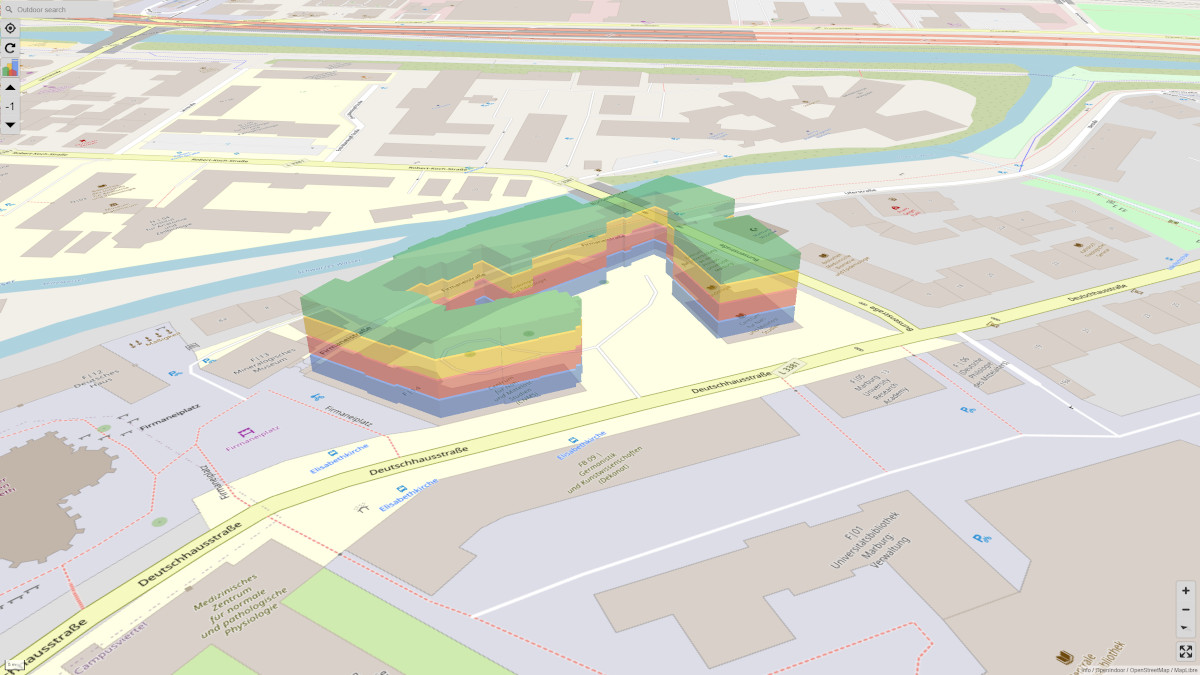
F|12 Deutsches Haus, Deutschhausstraße 10
F|14 Deutschhausstraße 12
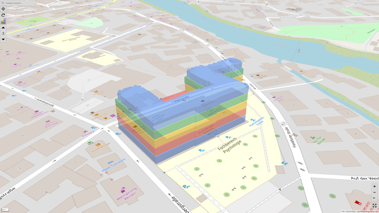
G|01 Gutenbergstraße 18, Psychology, Fine Arts
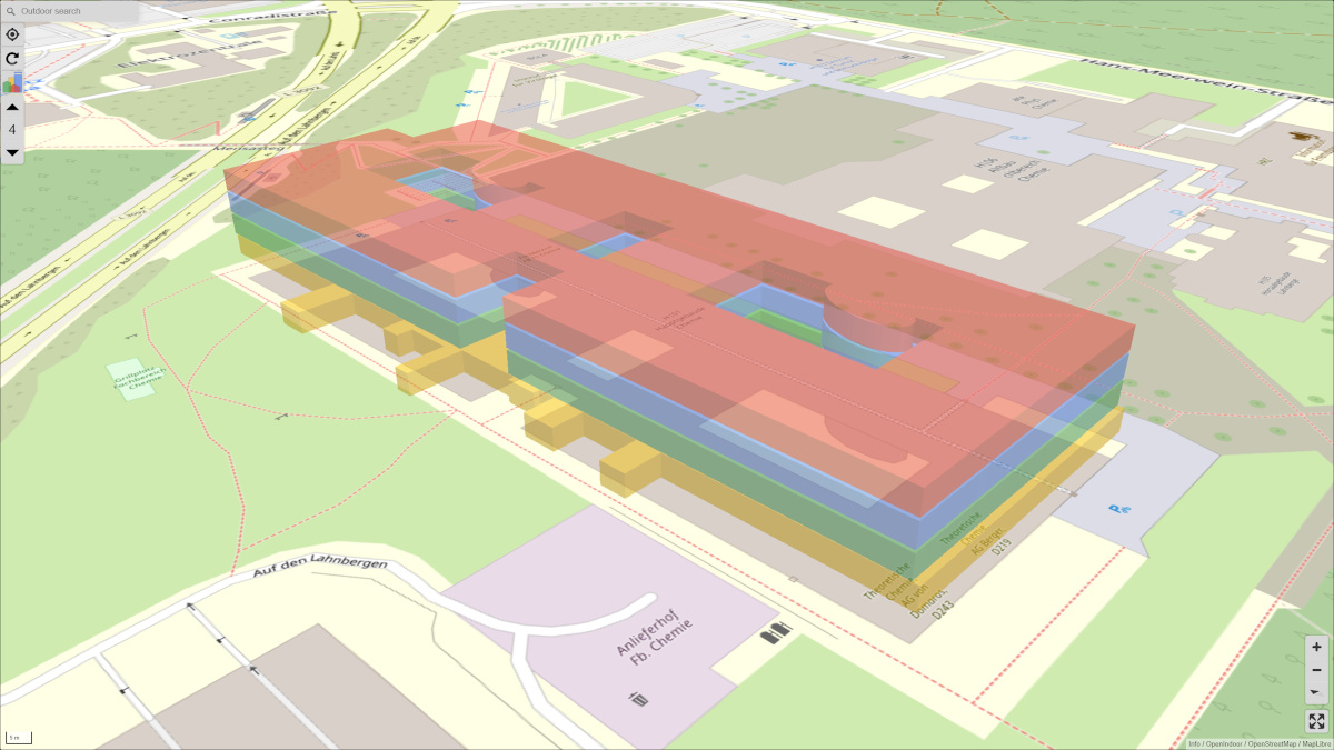
H|01 Chemestry Building, Hans-Meerwein-Straße 4
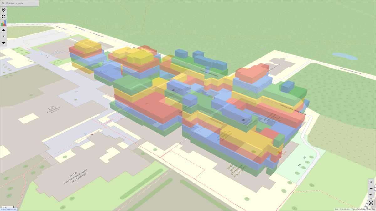
H|04 Mehrzweckgebäude, Hans-Meerwein-Straße 6
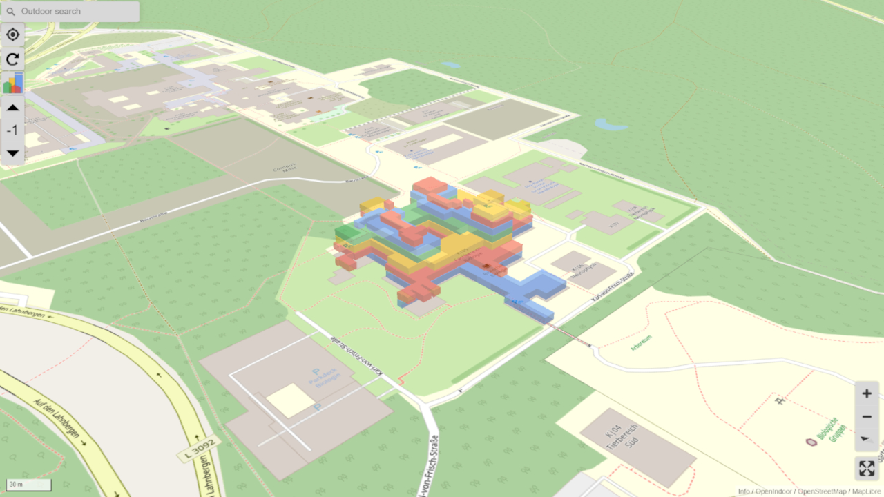
K|05 Biology, Karl-von-Frisch-Straße 8
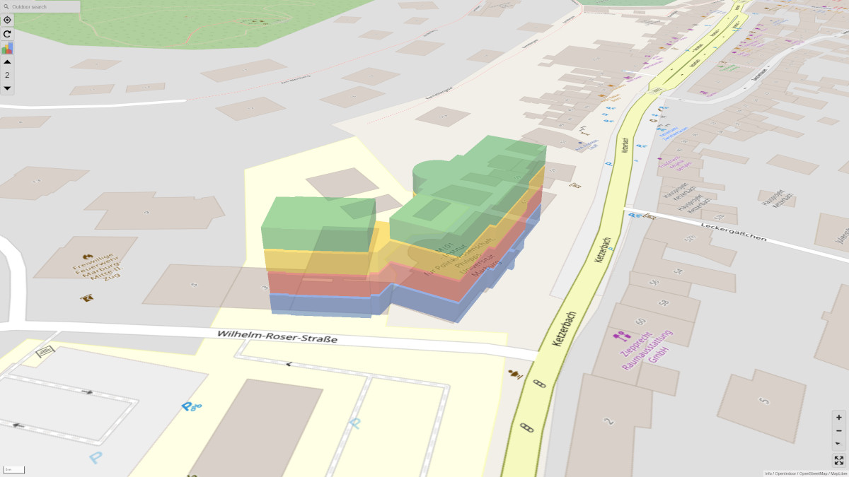
M|01 Ketzerbach 63
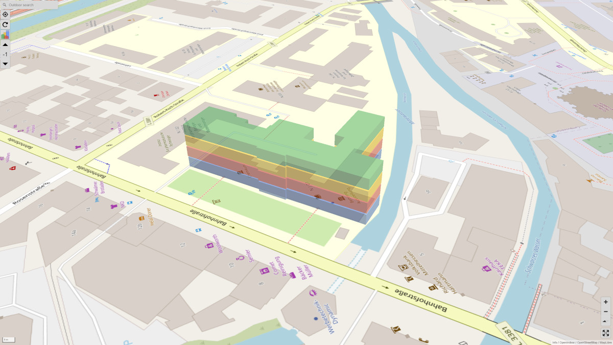
N|01 Bahnhofstraße 7
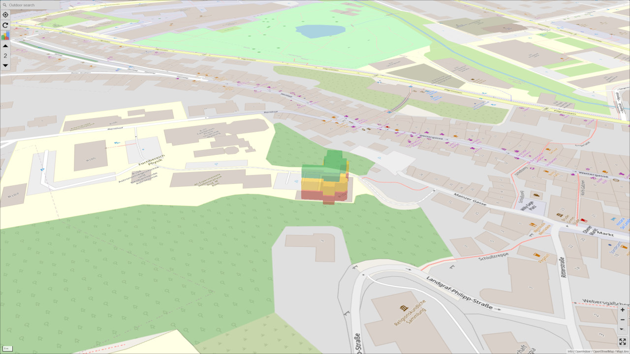
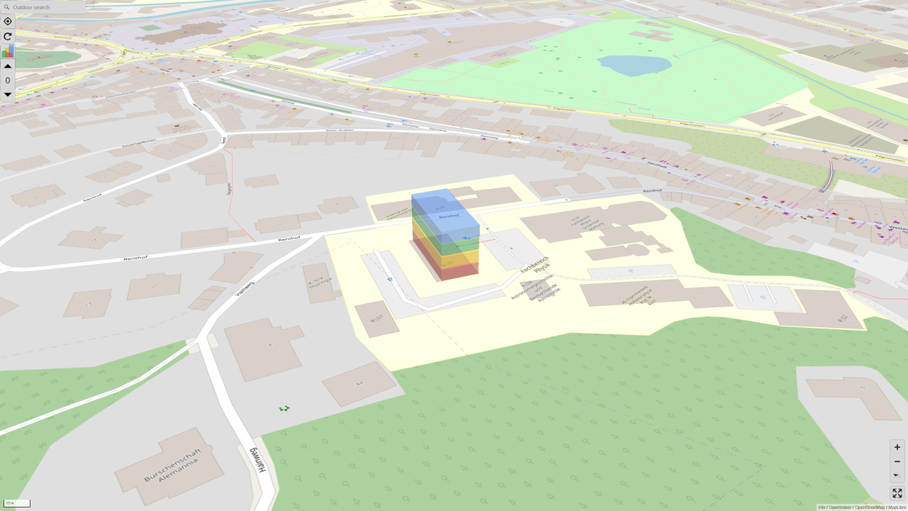
R|01 Renthof 5
R|02 Mainzer Gasse 33
R|05 Renthof 7
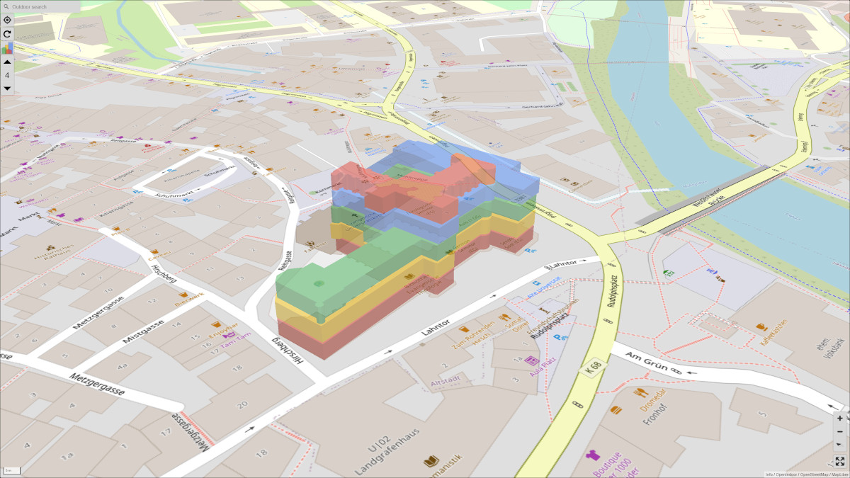
U|01 Old University, Lahntor 3
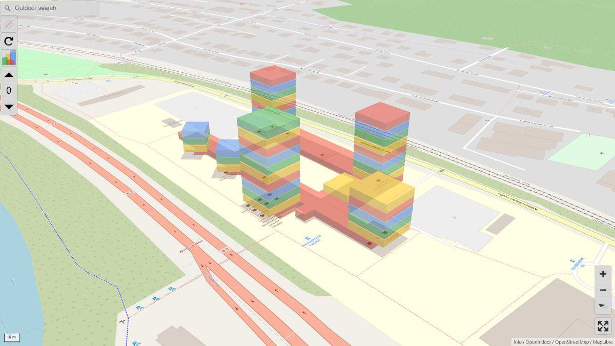
W|02 Wilhelm-Röpke-Straße 6
Legend
| Elevator | |
| Parent-child room | |
| Main Entrance | |
| Lecture hall | |
| Canteen | |
| Period products | |
| Lockers | |
| Vending machines | |
| Stairs | |
| Changing room | |
| Waiting room | |
| WC (all genders) | |
| WC (barrier-free) | |
| WC-F | |
| WC-M |
This website is based on the open source project OpenIndoor. The conception and adaptations for the Philipps University Marburg were carried out by students from FB 12 as part of several advanced internships.
The web-based campus map of the Philipps University Marburg is a joint project of the Equal opportunities offices (Dr. Nina Schumacher, Dr. Stefanie Wittich) and the Graphics and Multimedia Programming Group in cooperation with the Administration Unit IV: Building Management and Technology.
Please email suggestions for improvement to Prof. Dr.-Ing. Thorsten Thormählen.